Service Provided
- Centerline surveys
- Corridor boundary surveys
- Tract boundary surveys
Project Scope
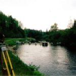
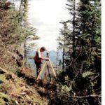
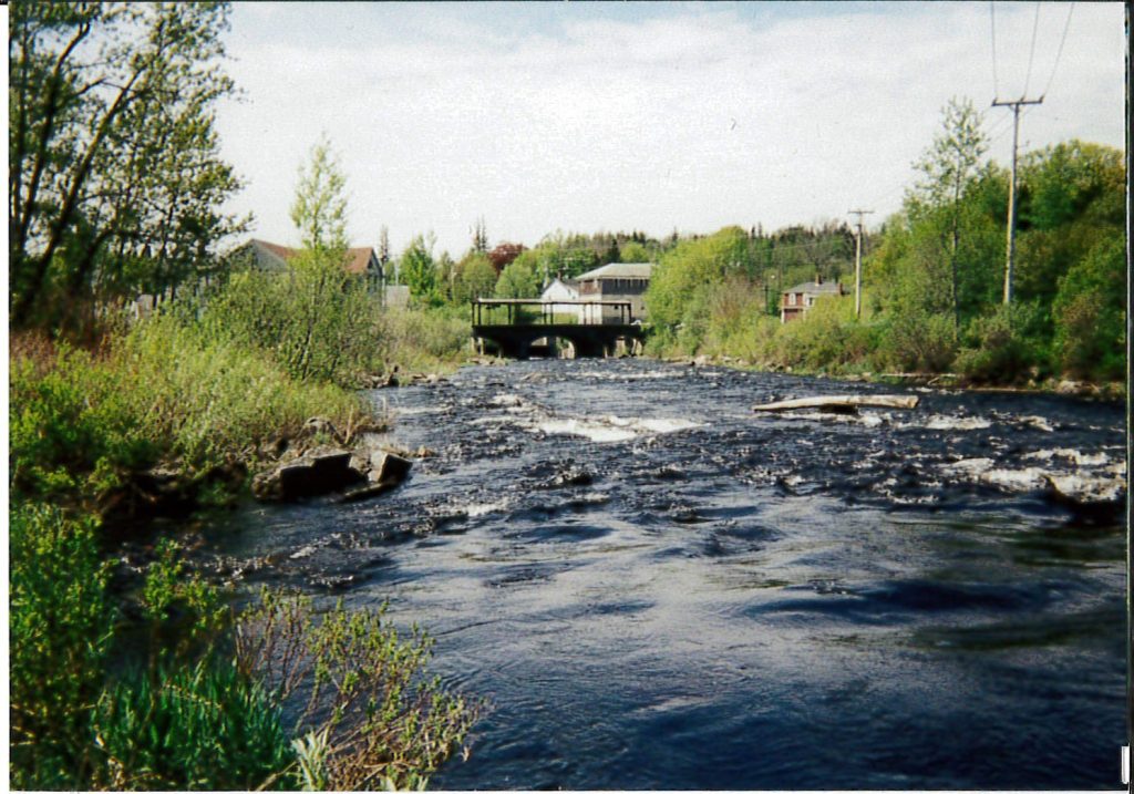
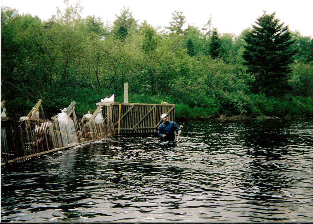
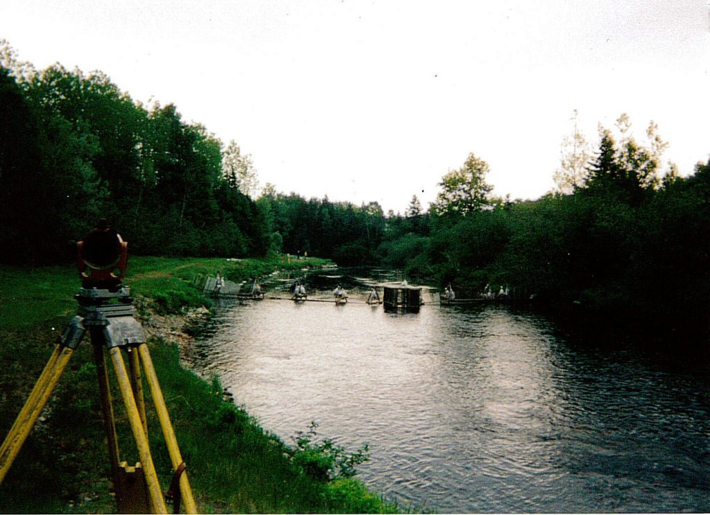
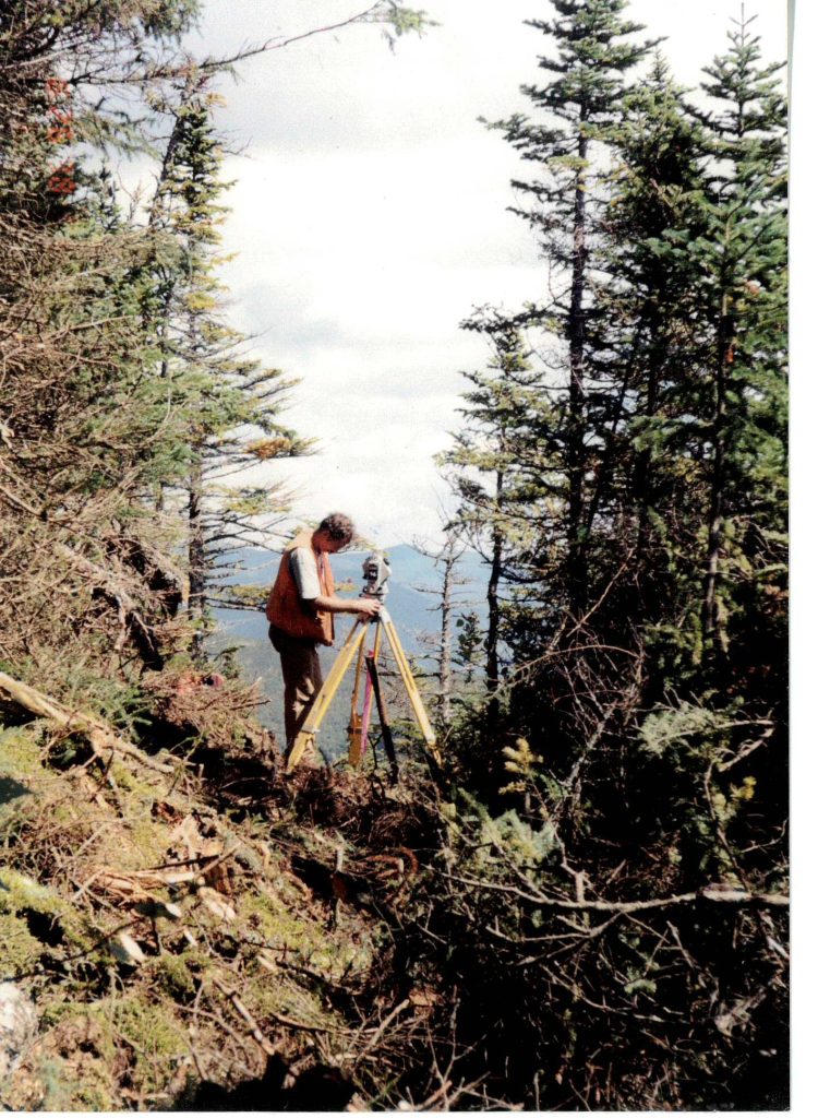
Under four contracts issued by the National Park Service, Civil Consultants provided centerline, corridor boundary, and tract boundary surveys of the Appalachian National Scenic Trail in Maine and New Hampshire. This work has been conducted as part of the land acquisition effort of the Appalachian National Scenic Trail Land Acquisition Field Office.
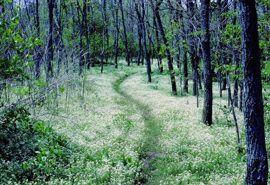
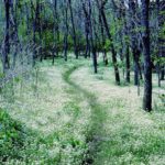
Maine surveys were conducted along the Chairback, White Cap, Bald Mountain, Sugarloaf, Saddleback and Mount Pleasant ranges, the Carry Pond area and in the Monson/Eliotsville, Flagstaff Lake and Rangeley lowlands; New Hampshire surveys were conducted along the Mount Cube and Mahoosuc ranges.
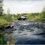
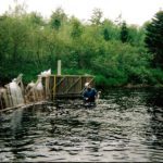
A number of the surveys included navigable river and great pond boundaries. In all, approximately 300 miles of traverses were run, approximately 300 miles of boundary line was blazed, painted and signed, and approximately 1500 monuments were set. Each project was completed for the contracted amount and within the permitted time, with extensions being granted in some instances to compensate for prolonged periods of rain or snow.
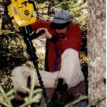
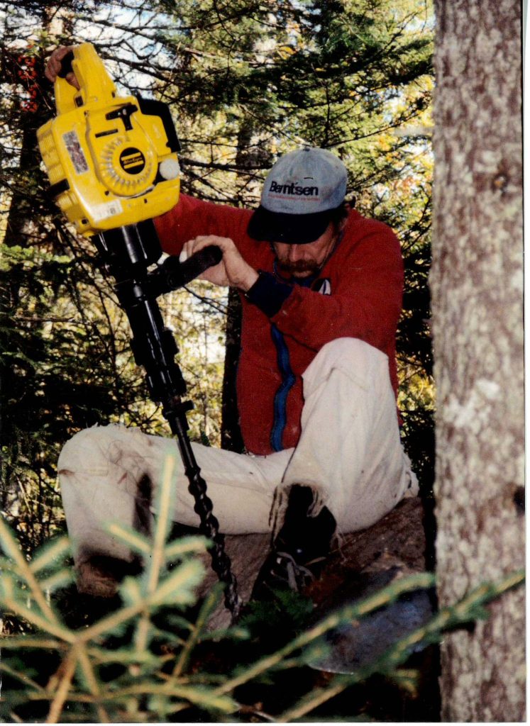
Mapping of trails, roads, riverbanks, and lakeshores was conducted using both survey grade and resource-mapping grade G.P.S. equipment.
Comprehensive plans and reports were submitted for each assignment.